
搜索结果: 1-15 共查到“摄影测量与遥感技术 Mobile”相关记录108条 . 查询时间(0.103 秒)
Ayman F.Habib教授作“Mobile Mapping Systems for Accurate Documentation of Transportation Corridors”报告(图)
Ayman F.Habib教授 土木工程学 数字摄影测量 美国摄影测量与遥感学会
2022/8/29
2021年12月23日上午,由测绘与空间信息学院主办的第11期智“绘”讲堂在第一会议室成功举办。本期智“绘”讲堂邀请到美国摄影测量与遥感学会(ASPRS)和加拿大地球空间信息学会(CIG)会员、美国普渡大学土木工程学院教授、数字摄影测量课题组组长、首席科学家Ayman F. Habib教授作了题为“Mobile Mapping Systems for Accurate Documentation ...

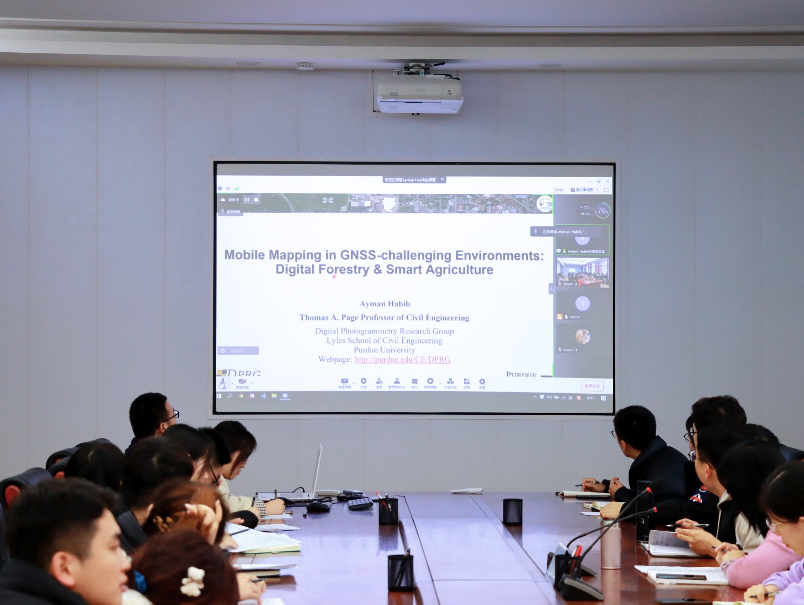
Ayman F. Habib 教授来山东科技大学测绘与空间信息学院作“Mobile Mapping Systems: Demonstrated Technology that Keeps Evolving”专题讲座(图)
山东科技大学测绘与空间信息学院 交通运输管理 遥感学会
2022/8/29
2021年12月17日上午,由测绘与空间信息学院主办的智“绘”讲堂在J6第一会议室和434报告厅成功举办。本期智“绘”讲堂邀请到美国摄影测量与遥感学会(ASPRS)和加拿大地球空间信息学会(CIG)会员、美国普渡大学土木工程学院教授、数字摄影测量课题组组长、首席科学家Ayman F. Habib教授作了题为“Mobile Mapping Systems: Demonstrated Technolo...
FULLY AUTOMATIC FEATURE-BASED REGISTRATION OF MOBILE MAPPING AND AERIAL NADIR IMAGES FOR ENABLING THE ADJUSTMENT OF MOBILE PLATFORM LOCATIONS IN GNSS-DENIED URBAN ENVIRONMENTS
Mobile Mapping Feature Matching Image Orientation Adjustment
2017/7/12
Mobile Mapping (MM) has gained significant importance in the realm of high-resolution data acquisition techniques. MM is able to record georeferenced street-level data in a continuous (laser scanners)...
AN EFFICIENT METHOD TO CREATE DIGITAL TERRAIN MODELS FROM POINT CLOUDS COLLECTED BY MOBILE LiDAR SYSTEMS
Mobile systems point cloud Digital Terrain Models LiDAR Delaunay triangulation Laplacian operator
2017/7/12
The digital terrain models (DTM) assume an essential role in all types of road maintenance, water supply and sanitation projects. The demand of such information is more significant in developing count...
A REGISTRATION METHOD OF POINT CLOUDS COLLECTED BY MOBILE LIDAR USING SOLELY STANDARD LAS FILES INFORMATION
Mobile systems point cloud LiDAR registration LAS trajectory adjustment
2017/7/12
In the last few years, LiDAR sensors installed in terrestrial vehicles have been revealed as an efficient method to collect very dense 3D georeferenced information. The possibility of creating very de...
AN AUTOMATED ROAD ROUGHNESS DETECTION FROM MOBILE LASER SCANNING DATA
Mobile Laser Scanning Roughness Intensity Threshold Filtering
2017/7/12
Rough roads influence the safety of the road users as accident rate increases with increasing unevenness of the road surface. Road roughness regions are required to be efficiently detected and located...
DEVELOPMENT OF MAPPING APPLICATIONS FOR MOBILE DEVICES
Web-Mapping Mobile Devices Mobile Development Hybrid Technologies Mobile Data Storing
2016/11/15
Development of mobile applications is a very popular trend of today’s informational technologies. Moreover, mapping applications are one of the most popular among all. However, development of mobile a...
TOWARDS A LOW-COST, REAL-TIME PHOTOGRAMMETRIC LANDSLIDE MONITORING SYSTEM UTILISING MOBILE AND CLOUD COMPUTING TECHNOLOGY
Structure-from-Motion (SfM) close range photogrammetry mobile device cloud computing landslide monitoring system
2016/11/11
Close-range photogrammetric techniques offer a potentially low-cost approach in terms of implementation and operation for initial assessment and monitoring of landslide processes over small areas. In ...
AUTOMATIC RAILWAY POWER LINE EXTRACTION USING MOBILE LASER SCANNING DATA
Power line extraction Mobile laser scanning Quaternion algorithm Hough voting Point cloud
2016/11/11
Research on power line extraction technology using mobile laser point clouds has important practical significance on railway power lines patrol work. In this paper, we presents a new method for automa...
CALIBRATION OF THE SR4500 TIME-OF-FLIGHT CAMERA FOR OUTDOOR MOBILE SURVEYING APPLICATIONS: A CASE STUDY
SR4500 ToF Cameras Calibration Outdoor dynamic acquisitions
2016/11/11
3D-cameras based on Time-of-Flight (ToF) technology have recently raised up to a commercial level of development. In this contribution, we investigate the outdoor calibration and measurement capabilit...
APPLICATION OF VISION METROLOGY TO IN-ORBIT MEASUREMENT OF LARGE REFLECTOR ONBOARD COMMUNICATION SATELLITE FOR NEXT GENERATION MOBILE SATELLITE COMMUNICATION
Vision Metrology in Orbit Communication Satellite Large Deployable Antenna
2016/11/11
Satellite for next generation mobile satellite communication service with small personal terminal requires onboard antenna with very large aperture reflector larger than twenty meters diameter because...
CREATION OF A WEB MAP AND MOBILE APPLICATION BASED ON A PRINTED BOOK
GIS ArcGIS History Web Application Nazi Occupation 1938-1945 Protectorate of Bohemia and Moravia Book Conversion
2016/11/8
The project describes a process of conversion of printed books into a web map and mobile application. The goal of the project is to make spatial data in the book accessible to wide public using GIS es...
A LASER-SLAM ALGORITHM FOR INDOOR MOBILE MAPPING
SLAM Bayes Filter Graph Optimization Sub-maps Virtual Landmark Indoor Mobile Mapping
2016/11/8
A novel Laser-SLAM algorithm is presented for real indoor environment mobile mapping. SLAM algorithm can be divided into two classes, Bayes filter-based and graph optimization-based. The former is oft...
UNCERTAINTY PROPAGATION FOR TERRESTRIAL MOBILE LASER SCANNER
Mobile mapping Laser scanner Uncertainty propagation Error ellipsoid
2016/7/27
Laser scanners are used more and more in mobile mapping systems. They provide 3D point clouds that are used for object reconstruction and registration of the system. For both of those applications, un...
SCAN PROFILES BASED METHOD FOR SEGMENTATION AND EXTRACTION OF PLANAR OBJECTS IN MOBILE LASER SCANNING POINT CLOUDS
mobile laser scanning point clouds segmentation planarity scan profiles
2016/7/27
The demand for accurate spatial data has been increasing rapidly in recent years. Mobile laser scanning (MLS) systems have become a mainstream technology for measuring 3D spatial data. In a MLS point ...