搜索结果: 1-15 共查到“Watershed”相关记录241条 . 查询时间(0.093 秒)
How wildfire restored a Yosemite watershed
wildfire climate change forest ecosystem drought
2021/8/10
Despite the risk, allowing lightning fires to burn in Yosemite's Illilouette Creek Basin has brought undeniable ecological benefits, including boosting plant and pollinator biodiversity, limiting the ...
中国地质大学科学技术发展院任双坡(博士研究生), 姚光庆等 资源学院构造与油气资源教育部重点实验室 Journal of Hydrology, 2018, Borehole characterization of hydraulic properties and groundwater flow in a crystalline fractured aquifer of a headwater mountain watershed, Laramie Range, Wyoming
美国西部;怀俄明州;拉勒米地区;山区裂缝性;花岗岩;地下水
2021/10/21
2018年,国际著名期刊《Journal of Hydrology》刊发了中国地质大学关于美国西部怀俄明州拉勒米地区山区裂缝性花岗岩地下水系统综合表征的研究成果。论文第一作者为资源学院2015级博士研究生任双坡。该研究成果来源于资源学院姚光庆教授科研团队与美国怀俄明大学地质系Ye Zhang教授合作项目。论文第一作者赴美国怀俄明大学联合培养期间受到学校“研究生国际交流基金”资助。

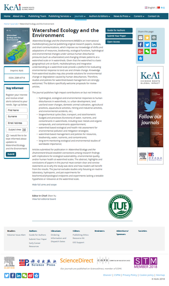
中国科学院城市环境研究所创刊“Watershed Ecology and the Environment(WSEE,流域生态与环境)”国际英文期刊(图)
中国科学院城市环境研究所 Watershed Ecology and the Environment 流域生态与环境 国际英文期刊
2018/8/31
中国科学院城市环境研究所与科爱森蓝文化传播有限公司(简称“科爱”)共同创刊Watershed Ecology and the Environment (流域生态与环境)国际英文期刊。该刊为是探讨流域尺度或流域内人类活动胁迫下(如城镇化及气候变化)自然资源、生物多样性、生物地球化学、水文学和环境质量等演变过程和适应机制,以及流域治理和管理策略与政策。该刊为季刊,将于2019年1月1日正式出版,我所中...
TOPOGRAPHIC FEATURES OF MALYY NARYN RIVER WATERSHED BASED ON DIFFERENT DATA
ZY3 DSM SRTM DEM ASTER GDEM Topographic Features Slop HI River Network Density River Network Discrepancy
2018/5/14
This paper researched the influence on the topographical characteristics of watersheds by setting different catchment area thresholds based on different data sets, namely ZY3 DSM, SRTM DEM and ASTER G...
THE STUDY OF WATERSHED TOPOGRAPHY CHARACTERISTICS IN VAKHSH RIVER BASED ON ZY3-DSM
ZY3-DSM the Catchment Boundary Profile Line the Longitudinal Valley Profile Line the Terrain Complexity Indices the Landform Development Indices
2018/5/11
The Vakhsh River is one of the major rivers in Tajikistan. The quantitative analysis of watershed topography and developmental characteristics in Vakhsh River catchment can reflect the morphological c...
A NEW MULTI-SPECTRAL THRESHOLD NORMALIZED DIFFERENCE WATER INDEX (MST-NDWI) WATER EXTRACTION METHOD – A CASE STUDY IN YANHE WATERSHED
Water Extraction MST-NDWI Small Linear River Remote Sensing Yanhe Watershed
2018/5/17
Accurate remote sensing water extraction is one of the primary tasks of watershed ecological environment study. Since the Yanhe water system has typical characteristics of a small water volume and nar...
SPACE-AIR-GROUND CO-OBSERVATION IN WATERSHED MANAGEMENT: THE ESTABLISHMENT OF SYSTEM
remote sensing dynamic monitoring water administration law watershed management
2018/5/17
To realize real-time, detailed, and standardized watershed monitoring and management, a dynamic monitoring system is proposed, at all levels (space, air, and ground), by comprehensively utilizing adva...
2nd International Symposium on Watershed Geographic Sciences
2nd International Symposium Watershed Geographic Sciences
2018/1/11
ISWSGS2018 (the 2nd International Symposium on Watershed Geographic Sciences) will be held from October 11 to 15, 2018 in Nanjing, China. This symposium is co-organized by Nanjing Institute of Geograp...
A watershed moment in understanding how H2O conducts electricity
watershed moment H2O conducts electricity
2016/12/13
Scientists have taken spectroscopic snapshots of nature’s most mysterious relay race: the passage of extra protons from one water molecule to another during conductivity.The finding represents a major...
INFLUENCE OF DEM IN WATERSHED MANAGEMENT AS FLOOD ZONATION MAPPING
GIS DEM Drainage Pattern Flash-Floods Hydrological Model Stream Network Flow Accumulation
2016/11/30
Despite of valuable efforts from working groups and research organizations towards flood hazard reduction through its program, still minimal diminution from these hazards has been realized. This is ma...
2016 International Symposium on Watershed Geographic Sciences(ISWSGS2016)
Watershed Geography Practices
2016/7/28
It is our great honour to welcome you to the International Symposium on Watershed Geographic Sciences (ISWSGS2016), organized by Nanjing Institute of Geography and Limnology (NIGLAS), Chinese Academy ...
International Symposium on Watershed Geographic Sciences (ISWSGS2016)
watershed geography Watershed Geographic Sciences
2016/7/28
It is our great honour to welcome you to the International Symposium on Watershed Geographic Sciences (ISWSGS2016), organized by Nanjing Institute of Geography and Limnology (NIGLAS), Chinese Academy ...
INTEGRATED LAND AND WATER RESOURCES CONSERVATION AND MANAGEMENT-DEVELOPMENT PLAN USING REMOTE SENSING AND GIS OF CHEVELLA SUB-WATERSHED,R.R.DISTICT,ANDHRA PRADESH,INDIA
Watershed Groundwater Geomorphology Remote Sensing GIS
2015/12/28
The study area Chevella located at a distance of about 42 km from Hyderabad city covers an area of about 5000 ha, is one of the drought prone areas in the Rangareddy district of Andhra Pradesh. Ground...
A Multiresolution Remotely Sensed Image Segmentation Method Combining Rainfalling Watershed Algorithm and Fast Region Merging
Multiresolution Image Segmentation Method Algorithms
2015/12/17
Nowadays object oriented image analysis becomes a hot issue in the field of image processing and interpretation because of its more robust noise removing ability, more abundant image features and expe...
RIVER SEDIMENT MONITORING USING REMOTE SENSING AND GIS (CASE STUDY KARAJ WATERSHED)
GIS RS Monitoring Karaj Watershade Envi
2016/1/18
Whereas the tank volume and dehydrating digits from kinds of tanks are depended on repository sludge, so calculating the sediments is so important in tank planning and hydraulic structures. We are wor...

